
|
|
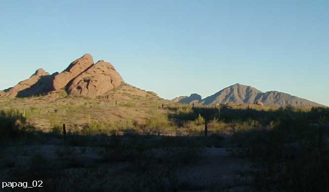
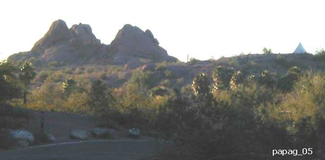
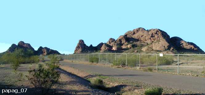
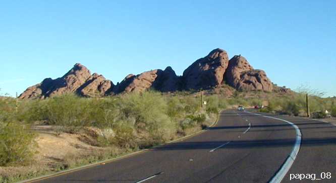
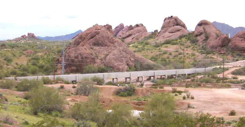
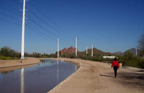
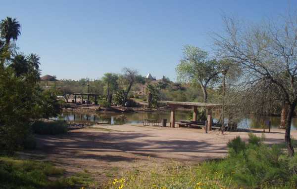
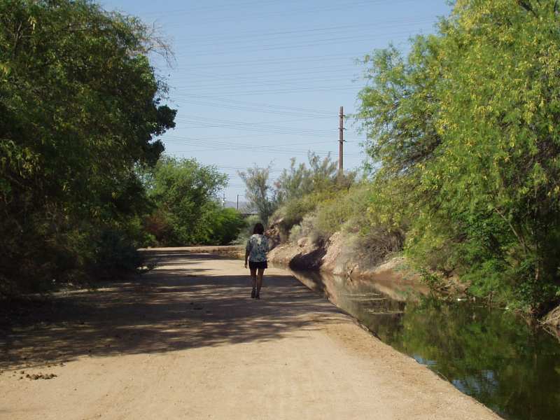
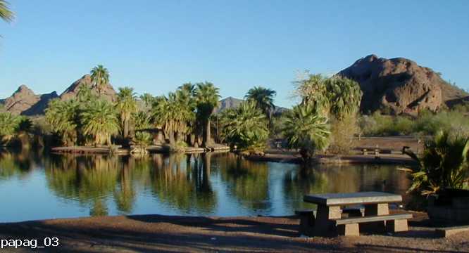 The Fabulous Park at Papago (Click on any thumbnail image for a full picture).
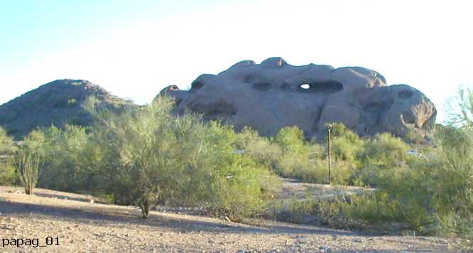
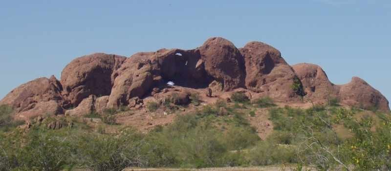
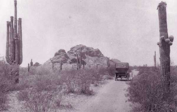
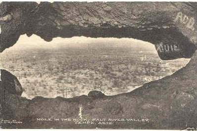
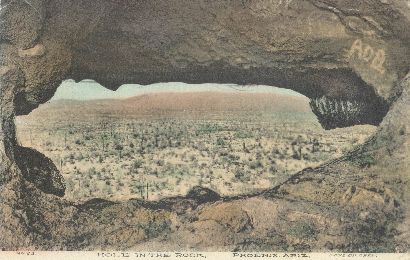
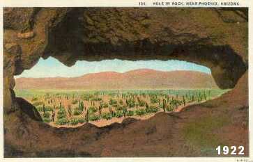
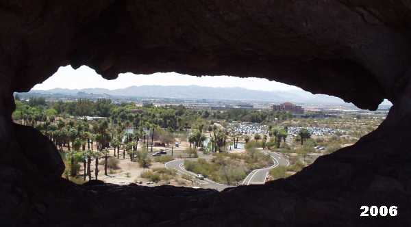
 Hole-in-the-Rock.
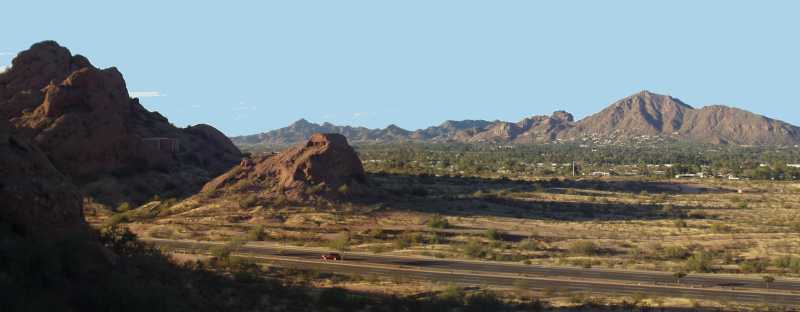
Even as a child, Papago Park was one of my favorite places (even if I most summer days I rarely got beyond Tempe Beach pool and the Salt River). Perhaps the most famous spot in Papago Park, if not Phoenix area itself, is the Hole-in-the-Rock butte. Well, maybe Camelback Mountain is just as famous, but it is a lot bigger landmark. Anyway, this well known landmark appears in the earliest photographs of Phoenix. Even in the late 1800s families would ride out to the Papago Park area for picnics.
This is a cool link to a satellite image map of the Papago Park area from Google:
Hole-in-the-Rock.
Even as a child, Papago Park was one of my favorite places (even if I most summer days I rarely got beyond Tempe Beach pool and the Salt River). Perhaps the most famous spot in Papago Park, if not Phoenix area itself, is the Hole-in-the-Rock butte. Well, maybe Camelback Mountain is just as famous, but it is a lot bigger landmark. Anyway, this well known landmark appears in the earliest photographs of Phoenix. Even in the late 1800s families would ride out to the Papago Park area for picnics.
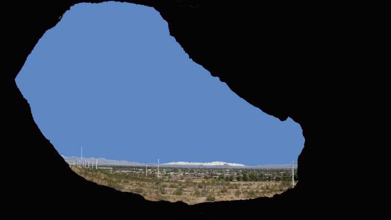
This is a cool link to a satellite image map of the Papago Park area from Google:  . You can move the scroll and move the map with your mouse (hold down the mouse button) and well as zoom in and out. The map link is centered on the Hold-in-the-Rock hill (Image here:
  ).
).

 Here are pictures you do not often see....
The backside of Hole-in-the-Rock. Actually, there are two holes: the big window the opens out into a balcony area and the sun-roof at the very top of the rock. The access from the back side is surprisenly easy - one could almost do it in a wheel chair. You can also climb the front side, but only if you are between 10 and 30 years old, and it is not a hot summer day.
Here are pictures you do not often see....
The backside of Hole-in-the-Rock. Actually, there are two holes: the big window the opens out into a balcony area and the sun-roof at the very top of the rock. The access from the back side is surprisenly easy - one could almost do it in a wheel chair. You can also climb the front side, but only if you are between 10 and 30 years old, and it is not a hot summer day.

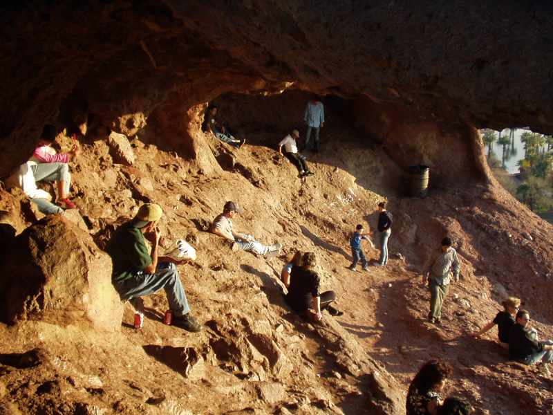 In the Hole.
As a kid I always enjoyed the climb and going through the hole. The sides of the rock are an easy climb, for the most part. However, appearances are deceiving and a gentle angle can turn into a somewhat dangerous situation. DANGER: This may be hard to believe, but nice, gentle, sloped sides of Hole-in-the-Rock make it one of the most dangerous mountains (well, hills or buttes) in the USA. I don't know how many times I have seen kids out on the sides of the Rock where they shouldn't be unless they are part mountain goat.
In the Hole.
As a kid I always enjoyed the climb and going through the hole. The sides of the rock are an easy climb, for the most part. However, appearances are deceiving and a gentle angle can turn into a somewhat dangerous situation. DANGER: This may be hard to believe, but nice, gentle, sloped sides of Hole-in-the-Rock make it one of the most dangerous mountains (well, hills or buttes) in the USA. I don't know how many times I have seen kids out on the sides of the Rock where they shouldn't be unless they are part mountain goat.
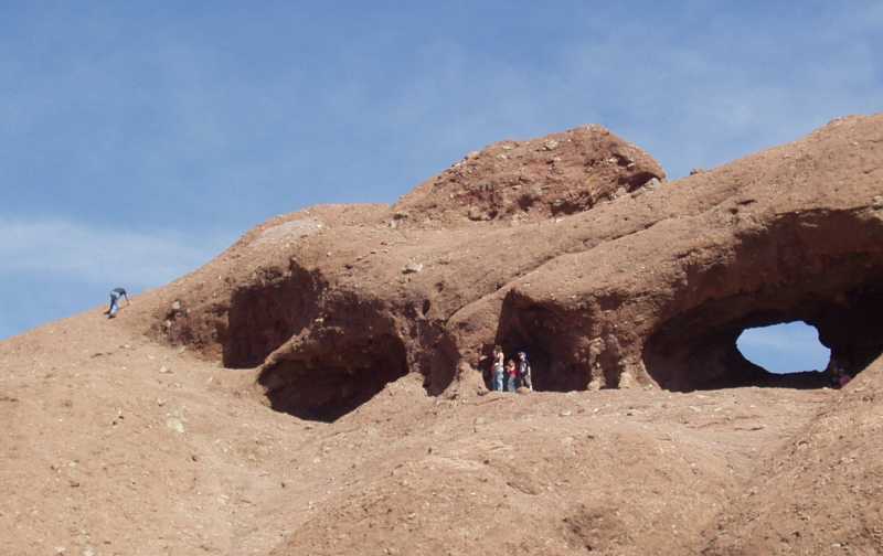
 Take a look at the images on the right to get any idea of this. Once in a while a visitor is hurt or killed in a fall from the rock. The easiest way to get to the top is to go through the Hole, then around the front along the sides where the people are standing in the picture - the slope angle varies from 20-45 percent grade. One Saturday I sat and watch people come out of the Hole, cross the front cave and start to climb to the top. About two-thirds decided it was not a good idea and turned back. I also sent an email to the Phoenix City of Parks asking if they had an reliable statistics on injuries from falls, but they never responded. Anyway, be careful!
 Kristen and son go to the Hole in the Rock.
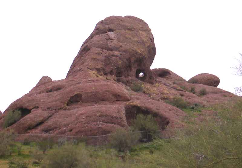 Oh yes, there is a theory that the Valley of the Sun and the Indian ruins around the Phoenix area was the site of the Seven Cities of Cebola (Coronado's Seven Cities of Gold). Here are a few pages from the book:
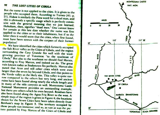
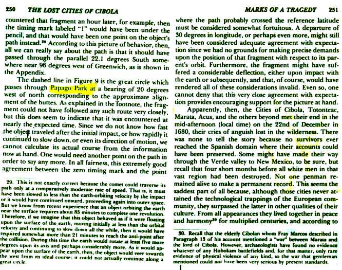 . According to this somewhat mad author, the mud-like, unique and strange rock formations in Papago Park are the result of a large meteor that hit what is now Papago Park at 3:05 PM on December 22, 1680, destroying the 7 Golden Cities and wiping out the Hohokam civilization in the Phoenix area. It was a very bad Christmas for the Indians. I am not making this up!
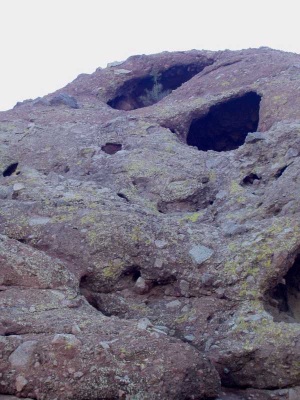 It must be said, however, that the rocks of Papago Park are different. Imagine a big mixer full of mud. Now throw in large chunks or rock, dump it on the plain and then let it dry. Add heat, wind and water. What you will have is the geology of Papago Park. Notice the image on the left. This is a typical picture of the side of one of Papago Buttes near the amphitheatre. The embedded rocks are the size of basketballs and very ragged. In other places the rocks in the mud are small smooth pebbles. The Papago area buttes are quite different from the rock in Camelback Mountain and Tempe Butte, only a short distance away to the north and south. Maybe there is something to the meteor story, or some other catastrophe. The mud-like rock is relatively soft and so the buttes look somewhat like piles of giant brown Swiss cheese. This makes for great caves and many deep holes that are visually fascinating. Actually there are at least seven large "holes in the rock" at different locations of the Park, as seen in the picture above (located in the Zoo area). Only the big hole in the Hole-in-the-Rock butte is easily accessible and can be walked through (duhhhh!).
If you visit the Phoenix, a visit to Papago Park is a must. The Zoo and the Botanical gardens are in the Park area. Although long gone, Papago Park was the site of the Famous POW camp in World War II, a place that was a mixture of Hogan's Heroes, Camp Comedy and Yuma Prison
It must be said, however, that the rocks of Papago Park are different. Imagine a big mixer full of mud. Now throw in large chunks or rock, dump it on the plain and then let it dry. Add heat, wind and water. What you will have is the geology of Papago Park. Notice the image on the left. This is a typical picture of the side of one of Papago Buttes near the amphitheatre. The embedded rocks are the size of basketballs and very ragged. In other places the rocks in the mud are small smooth pebbles. The Papago area buttes are quite different from the rock in Camelback Mountain and Tempe Butte, only a short distance away to the north and south. Maybe there is something to the meteor story, or some other catastrophe. The mud-like rock is relatively soft and so the buttes look somewhat like piles of giant brown Swiss cheese. This makes for great caves and many deep holes that are visually fascinating. Actually there are at least seven large "holes in the rock" at different locations of the Park, as seen in the picture above (located in the Zoo area). Only the big hole in the Hole-in-the-Rock butte is easily accessible and can be walked through (duhhhh!).
If you visit the Phoenix, a visit to Papago Park is a must. The Zoo and the Botanical gardens are in the Park area. Although long gone, Papago Park was the site of the Famous POW camp in World War II, a place that was a mixture of Hogan's Heroes, Camp Comedy and Yuma Prison 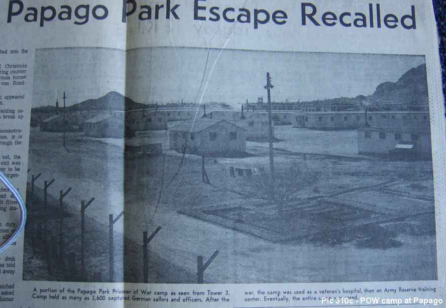
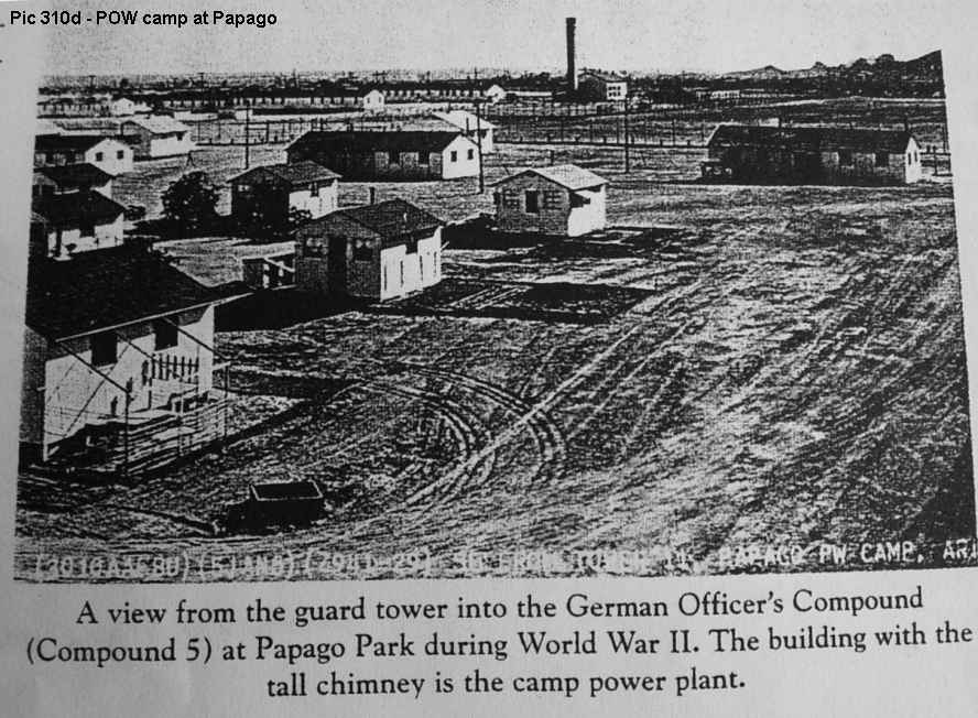 . The camp was the site of the most famous POW escape in US history, with all the elements of drama and comedy. There are stories that the German soldiers even had local girlfriends. The camp was also the site of the execution of a spy by the Germans, leading to the subsequent trial, conviction and mass execution of prisoners by the US government. Oh yes, the Papago Park area is also where I live, and the best neighborhood in all of the Valley
  .
.
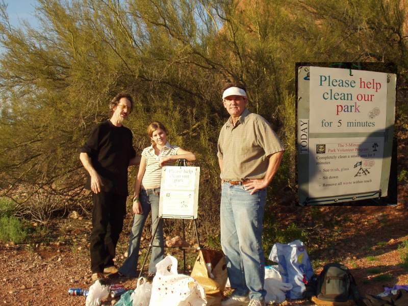 A word of thanks... Sometimes there are groups of volunteers out cleaning up the park. They give out plastic bags and ask all visitors to spend 5 minutes, or even 1 minute, picking up paper, glass or any debris of any type. The gentleman told me that they calculate that the group had removed over 500,000 pieces of trash and litter over a few weeks. Wow! Keep up the good job!
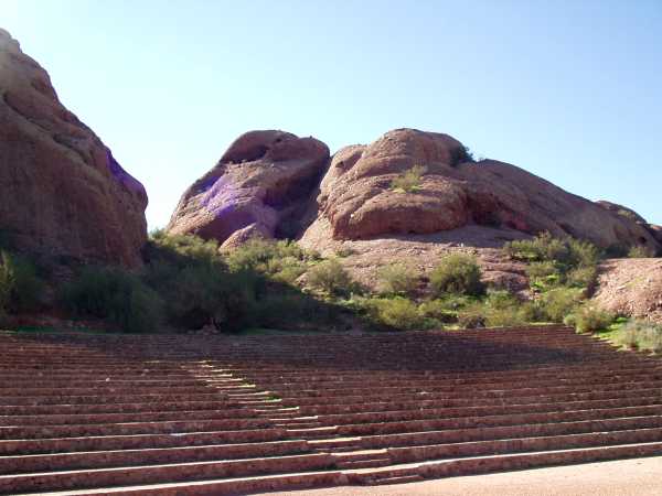
 They really do need to do something with the historic amphitheatre. It has been basically useless for 50 years, since they put McDowell Road right across the from of it. The lower stage area used to be bigger and there was a parking area just below Barnes Butte. Now the only parking is for 5 cars along McDowell. I have no idea how long it has been since it was last used. I have an idea how to bring this scenic spot back into public use, but that is in the page about the "Centennial' project for 2012.


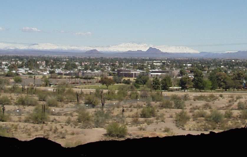
 A 360 degree panoramic view of the park, from Knoll Rock (4/2006).
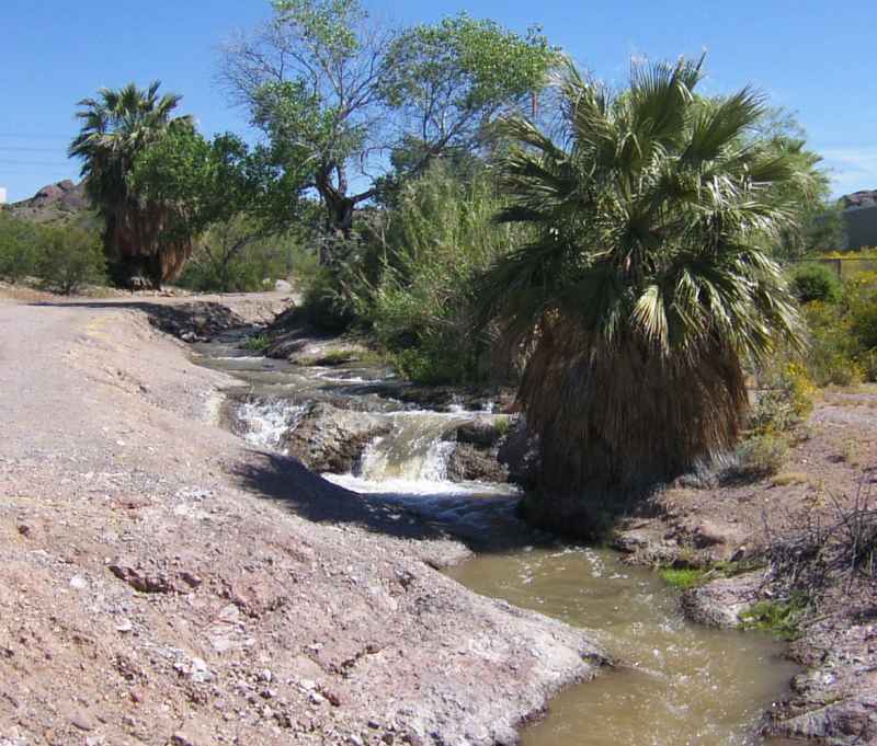 It doesn't get any better than this... Yes, this is Pagago Park, too.

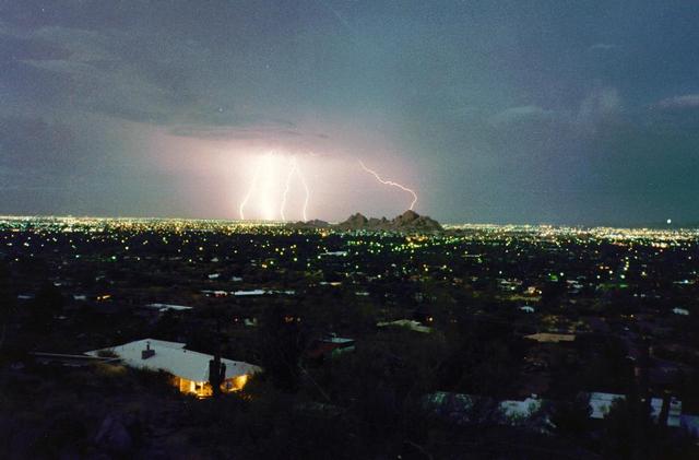 A great picture.
Somebody sent me this photo years ago, and I don't know who to thank or congratulate. It must be the work of a pro, or if not, he/she should be a pro. This is a picture taken of Barnes Butte and the Papago Buttes during a storm, obviously from Camelback Mountain.
A great picture.
Somebody sent me this photo years ago, and I don't know who to thank or congratulate. It must be the work of a pro, or if not, he/she should be a pro. This is a picture taken of Barnes Butte and the Papago Buttes during a storm, obviously from Camelback Mountain.


 .
. "Hole in the Mountain" - What? Mountain? I saw this one ebay. It is the earliest picture I have seen of the Hole-in-the-rock. It was offered on Ebay but I didn't buy it. It was taken by George Rothrock (a very appropriate name!) and is dated from the 1870s. Was "Hole-in-the-mountain" used or is it just a description rather than proper name?
 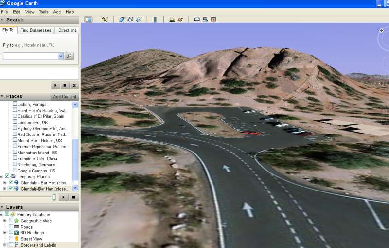 No Hole! - What? If you map Hole in the Rock on Google Earth and then lower the view to almost street level you get this. The mapping algorism can't see the hole (not visible from above) so it computes the coordinates for the terrain in a rather strange fashion.
 Slim and Shorty Jones. Here is another resolution: Once in a while I run across these folks, either separately or together. I know I have seen other pictures of Slim and Shorty Jones in Papago Park. I am sure there is a picture of them in a covered automobile, with the same type of outfit. Here they are still using a wagon and mules. If I see these pictures again I will put them here! I think they were peddlers... Added 2/2006: I found another photo in Phoenix Magazine. So the name is Chuckawalla Slim, and he is a 'rockologist'. The photo is from the 1920s and Slim is motorized. What happened to 'Shorty'?


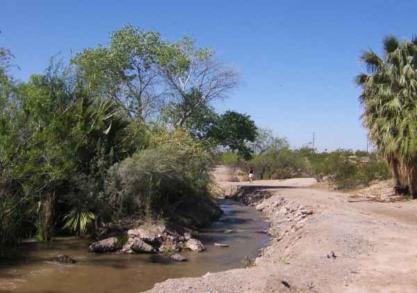
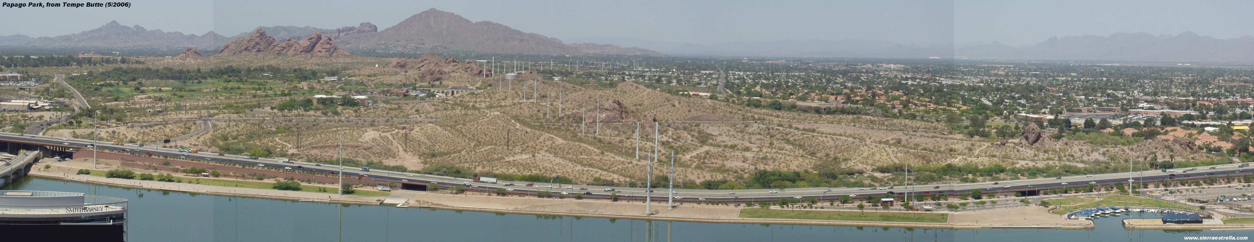 Two more "panoramic" views of the Park.