MAIN SATELLITE and SPACE IMAGE PAGE
As I did initially with maps, about 7-8 years ago I began collecting pictures taken from space of the phoenix area. My initial idea was to track urban sprawl, but it soon became apperent that this required more technical expertise and information than I had. While this goal could be partially acomplished, it would only be a rough approximation, given that I was uncertain at the time (and still am) as to what is "desert" or "rural", and what was to be considered "city" or "urban". In other words, how many houses per square mile make it an urban area? Do crop fields count? and so on. Obviously the Phoenix metropolitan area is rapidly growing and has become a serious issues, in many ways (water, land use, natural habitat, etc...)
As with the maps, most of the images are only partial views focusing on the Estrella and Old Maricopa area. They have served to help me in create a graph demonstrating the growth (or maybe "sprawl") of the Phoenix area, and even include a projection for future growth. However, after a while the main factor was that the images are so darn beautiful and interesting.
As you will see, of all the objects in the Phoenix area, the Estrellas are by far the most identifiable. The highland desert and the remote areas around the mountains tend to make them even more outstanding at great altitudes.
Below on this page you will find a half a dozen of the most interesting shots. A link to ALL the satellite photos is included at the bottom of the page.

Above: Satellite Image # 001
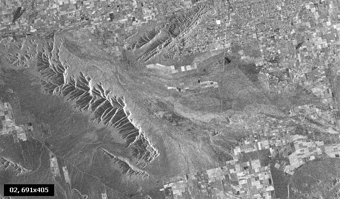
Satellite Image # 002
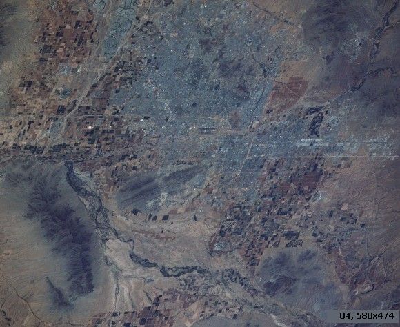
Satellite Image # 003
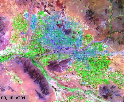
Satellite Image # 009
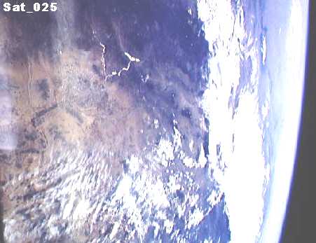
Satellite Image # 025
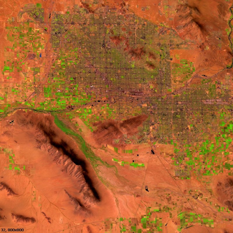
Satellite Image # 032

Satellite Image # 050
 Click to see all satellite images.
A collection of all pictures in the collection, with thumbnails.


